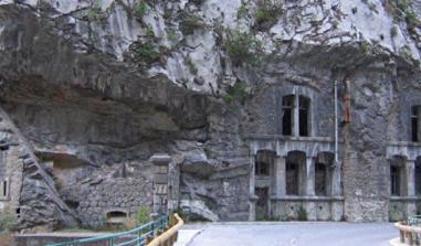
The Paillon line of fortifications
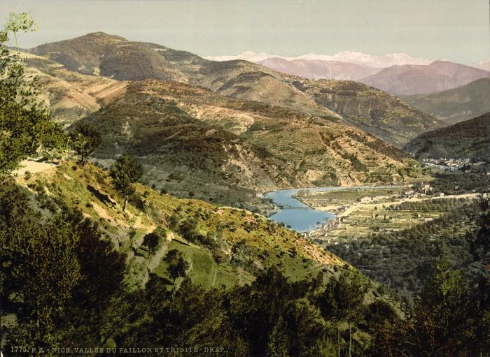
The Paillon Valley in Nice between 1890 and 1905. Source: United States Library of Congress
The Paillons basin (Lévens, Escarène and Conte) in the Nice hinterland is a natural obstacle to invasions from the west and a travel route between Nice and the Vésubie Valley.
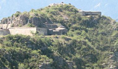
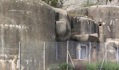
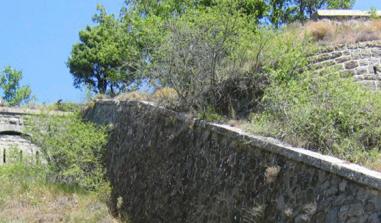
This limestone pre-alp range reaches heights of 600 to 800 metres. Its north-south orientation makes it a natural obstacle to invasions from the west and a travel route between Nice and the Vésubie Valley. These dry-stone fortifications were set up by French troops who invaded the County of Nice in 1747. It runs from Mont Férion to the sea, passing through Mont Macaron and the Terrier Plateau. The system includes a double line used as a shooting bench, equipped with redoubts. The most interesting vestiges are located on the Terrier plateau.