Museum of Relief Maps
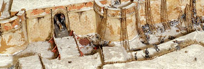
Escalade par temps de neige d'une ville fortifiée à l'antique. © musée des Plans-reliefs - Bruno Arrigoni
This Museum exhibits an unrivalled collection of historical models of the forts and fortified towns spread along the former French borders.
The collection of relief maps bears witness to more than two centuries of military siege history, from its creation in 1668, under Louis XIV, until the last quarter of the 19th Century when the fortified bastions were abandoned. The Museum of Relief Maps exhibits, at the Invalides in Paris and at the fine arts museum in Lille, an unrivalled collection of a hundred historical models of the forts or fortified towns that were spread along the former French borders. The practice of making relief maps and models of fortified towns for strategic purposes was the result of an initiative by Louvois. In 1668 the minister of Louis XIV was responsible for creating a collection that would continue to grow richer for more than two centuries. The king's engineers thus created relief maps not only of French places situated on the borders of the kingdom, but also foreign towns captured from the enemy. Apart from their military interest, they were valued as prestige objects, testament to the power of the monarchy and the kingdom, as well as being commemorative pieces illustrating important battles and great sieges. Their production only ended towards 1870, with the disappearance of bastion fortifications.
Used in military training, the collection of relief maps now represents an exceptional source of information for the history of the architecture, town planning and changes to the countryside. The models were created with great attention to detail, under the supervision of military engineers and with help from a large amount of written and graphic documentation. The collection, comprising 111 models, mostly on a scale of 1/600 (26 models, 21 other objects and 64 relief maps), first kept at the Tuileries, was transferred to the Louvre in 1700 and then in 1770 to the Hôtel des Invalides. Because of its eminent historical interest, it was classified as a historic monument in 1927. Today it is kept by the museum of relief maps (at the Hôtel des Invalides), created in 1943, where about a hundred models of French and foreign towns are displayed. Sixteen relief maps have been sent on loan to the museum of Fine Arts in Lille.
Hôtel national des Invalides 6 bd Invalides 75007 PARIS Tel.: 01 45 51 92 45 Email: pedagogie.relief maps@culture.gouv.fr Opening times 10 am until 6 pm from Monday to Sunday Unguided tours Full rate: 7.5 € Reduced rate: 5.5 € Conferences Group rate (over 25 people): 120 €
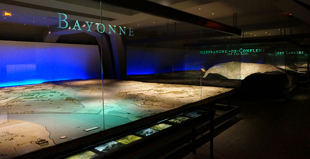
(c) Musée des Plans-reliefs / G. Froger
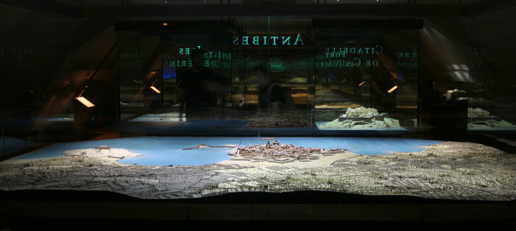
(c) Musée des Plans-reliefs / G. Froger
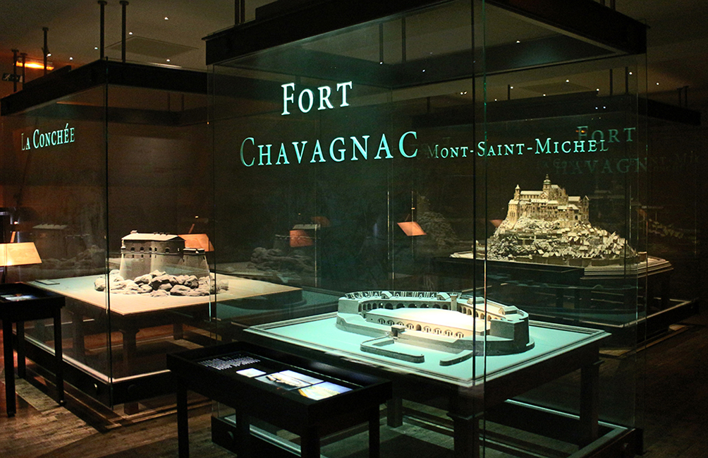
(c) Musée des Plans-reliefs / G. Froger
Practical information
6 boulevard Invalides 75007
Paris
01 45 51 95 05
Plein tarif 9 € Tarif réduit 7 € (anciens combattants, possesseurs de Carte SNCF « Famille nombreuse », groupes sur réservation (à partir de 10 personnes) Le droit d’entrée permet d’accéder au Musée des plans-reliefs, au Musée de l’armée et au tombeau de Napoléon. Gratuit pour les moins de 18 ans; Les jeunes de 18 à 25 ans ressortissants ou résidents de l’Union européenne; Les demandeurs d’emploi et et les bénéficiaires des minima sociaux (justificatif de moins de 6 mois); Les visiteurs handicapés (un accompagnateur gratuit); Les titulaires du Pass Education Les journalistes; Les membres de l’ICOM et l’ICOMOS; Les personnels civils du ministère de la Défense; Les militaires français; Les militaires étrangers (en uniforme).
10h à 17h du 1er octobre au 31 mars 10h à 18h du 1er avril au 30 septembre Fermé le 1er lundi de chaque mois
Les 1er janvier, 1er mai, 1er novembre et 25 décembre.